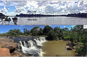
The Pha Chan – Sam Phan Bok Geopark is at the easternmost part of Thailand and has the border with Laos. Furthermore, it is the most famous Mekong River Civilization area and dominated by sedimentary rocks of the Khorat Plateau. Different erosion rate produces spectacular landforms such as potholes, rapids, stacks, cliffs, and cascades. According […]
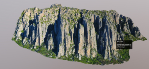
The use of GIS, remote sensing, and other geographic tools in geoconservation and geotourism is increasing. These tools – hereafter referred to as ‘Geographic Information Technology’ (GIT) tools – have the potential to simplify workflow in geoconservation assessment and inventory, be employed as decision support and decision making tools for complex decisions, or be used […]
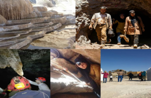
Nowadays, mining tourism is known as a strategy for local development and an alternative economy in remote areas. Yazd province is Iran’s mineral hub and has a high potential for promoting mining tourism. However, this form of tourism in the province has not been considered as it should. This paper emphasizes on recognizing the mining […]
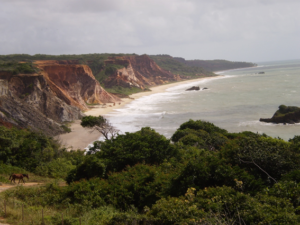
Geotouristic itineraries are important tools for the dissemination of geosciences because they work as outdoor field classes for teaching about the physical phenomena associated with the landscape in question, including the cultural one. Coastal environments are areas of great geotouristic potential precisely for this natural dynamics that give them its scientific value. The South coast […]
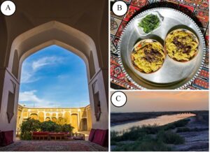
This paper aims to evaluate the geotourism potential of Gonabad Qasabeh qanat as a hydrogeological and cultural-geological site in terms of geotourism, and examine the weak points, and provide solutions. The GAM evaluation model has been used to provide an evaluation based on the main values (scientific-educational, scenic-aesthetic, and protection) and additional values (functional and […]
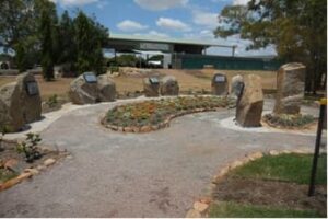
Surface topography is involved with cultural values in some destinations, and Neyshabur and Firuzeh Counties constitute good examples. In this paper, we present the primary geosites with cultural geomorphology values and aims to investigate the appropriate solutions for promoting geotourism with an emphasis on cultural geomorphology. Thematic analysis as a qualitative method and observation was […]

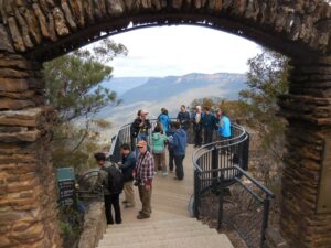
Geoparks in Australia have had a complex recent history. Following the demise of the former Kanawinka UNESCO Geopark in 2012, two potential UNESCO Global Geopark projects supported by local government agencies and embracing large areas were initiated in other Australian regions in 2016. These were for the Etheridge Geopark in Far North Queensland and the […]
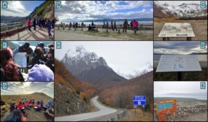
The idea of a geoconservation chain is applied to the ‘End of the World Road’ which is part of an Argentinian tourist development program called La Ruta Natural (The Natural Road). To conduct a comprehensive and specific analysis, this itinerary was divided into six segments and sieved through the steps and substeps of the framework. […]
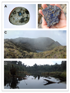
Sumaco is the easternmost active volcano in Ecuador, and is in the sub-Andean zone, towards the northwest of the country, and located in the Pleistocene Napo Uplift. Together, the tectonic setting of the eastern Andes and Amazonian plain is the main regional feature determining high ecological, landscape, geological and biological diversity. In addition, indigenous cultures […]
In Australia, geotourism is defined as tourism which focuses on an area’s geology and landscape as the basis for providing visitor engagement, learning and enjoyment. Geotourism has great potential as a new nature-based tourism product. Where-ever tourism contributes a direct environmental benefit to a visited location, its clients gain empathy for the holistic heritage of […]
